Welcome to the Kentucky Geography Network
The KyGeoNet is the home of Kentucky's Geospatial Data Clearinghouse. Use the search capabilities of the KyGovMaps Open GIS Data Portal to find GIS services and data resources, learn about the KyFromAbove program, or connect
directly to our Web Mapping Services using your desktop-based or web-based GIS software.
KyGovMaps
The Commonwealth's
Open GIS Data Portal
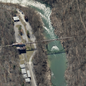
KyFromAbove
Ky's Aerial Photography &
Elevation Data Program
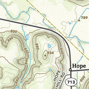
KyTopo
Kentucky's Topographic
Map Series